Are you planning to use location data to provide insights, tailor policies and programs, understand the impact of initiatives in particular locations, use it for new projects, or build a proof of concepts?
Participate in Geoscape’s Data Evaluation Program for Government. A unique and rare opportunity to experience and evaluate our location data for free for 6 months along with access to exclusive government pricing.
Experience the power of location data with Geoscape’s reliable, affordable, and accessible data products.
The program highlights:
-
Experience our suite of location datasets without charge for up to 6 months.
-
Explore and evaluate opportunities to deliver additional value to your department through creating proof of concepts, and integrating Geoscape data with your business data.
-
Complimentary access to webinars, product content and our technical experts to help you get the most from your evaluation.
-
Dedicated Geoscape contact to support the evaluation process.
-
Get early access to new datasets and engage with our product team to help shape our product roadmap.
-
Work with our network of data partners to assess any special implementation needs.
-
Access to exclusive government pricing.
Apply now to participate in the program
Why participate in Geoscape Data Evaluation Program for Government?

Build a proof of concept with free 6 months access to high-quality datasets.
Broad evaluation licence.
Low-risk entry to evaluate and plan.
No monetary obligation.
Access exclusive government pricing.
Bundled discounts if you license multiple datasets.
Access our Partner network for value-added solutions and services.
Get access to our team of geospatial experts.
Receive program material, including webinars and data guides.
Access location data via our self-serve platform.

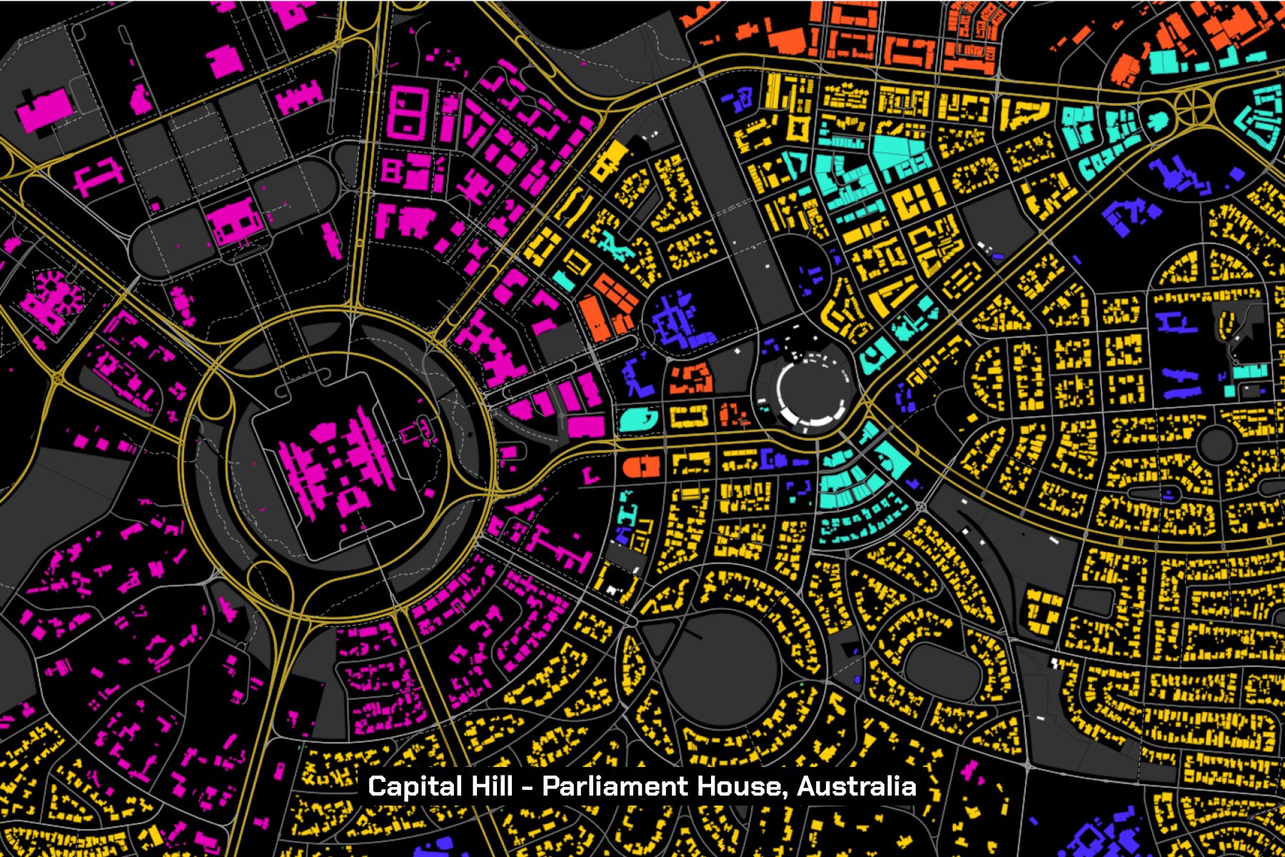
Australia at your fingertips.
Trusted location data representing Australia’s built environment. From national data to a small area of interest.
- 16 million+ buildings
- 15.2 million+ addresses
- 17 million+ land parcels
- 1.9 million+ swimming pools
- 1.8 million+ solar panel installations
- 2.7 million kilometres of roads
- Land & tree cover across Australia and more.
Access quality location data to achieve your deliverable.
High-quality data is an essential tool in decision making. Geoscape location data enables you to create and utilise a digital representation of the built environment across Australia.
It enables rich forms of communication and collaboration and enables the government to plan and adapt as the nation changes.
Unlock opportunities and build data-driven solutions using Geoscape location data.
Location data helps with planning, optimising service delivery and understanding demand profiles.
It reveals valuable insights to help make informed decisions. For example, Emergency services agencies use location data to understand the underserved areas better, thereby transforming their services.
Geoscape precisely offers the slice of data you need. Our data can be used to link and enrich your own data to improve elements in your data holding.
Increased data accessibility is crucial for data-driven innovations. Adding a location increases the ability to organise, integrate and reuse digital data.
Location data played a significant role is in our fight with COVID-19. Improving data access can help the government support many sustainable developmental initiatives.
Geoscape rich datasets can help solve the challenge of data accessibility. Geoscape is behind building and managing G-NAF (the Geocoded National Address File), one of Australia’s most trusted sources of geocoded addresses.
By unlocking the benefits of location data and combining it with data intelligence, government agencies can understand the needs of different communities and deliver the right services to the right people at the right time, support future planning and allocate resources effectively.
Geoscape data products can be linked to provide illuminating insights and help agencies build relevant citizen services. For instance, during 2019-2020 bushfires using location data, government departments identified bushfire affected areas to help those affected by the calamity.
Geoscape location data use cases are limited only by your imagination.
Urban Planning
The use of 3D buildings data helps create visualisations of design concepts for new development within the context of its surroundings. It reveals how it integrates with the local area and enhances stakeholder consultation while planning future development work.
Similarly, Geoscape Cadastre can identify changes in the urban landscape, such as subdivision of greenfield developments or blocks into multi-building dwellings or high-rise buildings.
Emergency Management
Geoscape spatial data can help model a flood, bushfire or other disaster and anticipate its impact on people and property. It helps guide risk management, early warning systems, emergency response and post-event assessment.
Research Studies
Researchers have used Geoscape Buildings data to see how affordable housing and its neighbourhood context impacts health. The characteristics of the places we live and how they may impact lifestyle activities and cognitive health. Our data helps the researcher generate new exposure variables for use across multiple research projects.