The Postcode Boundaries dataset is the definitive set of Australian postcodes and their geographic boundaries.
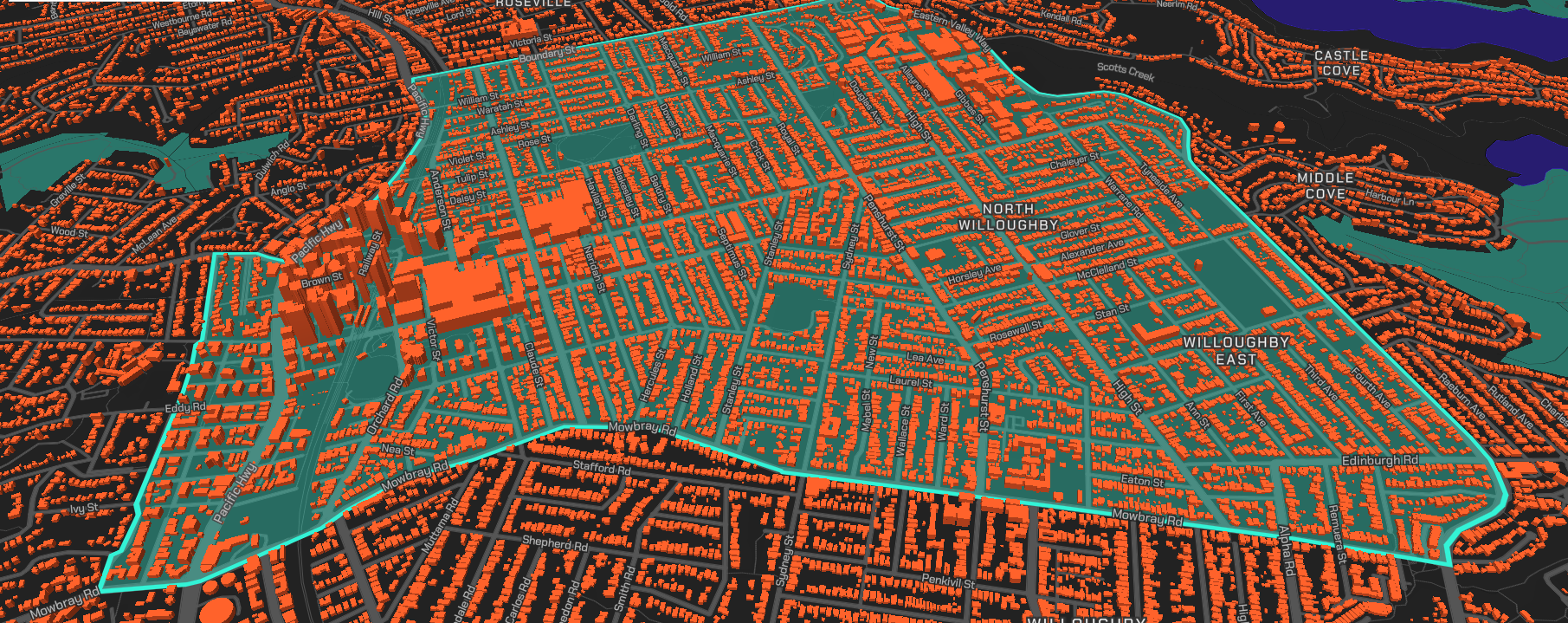
It enables a wide range of spatial aggregation and analysis activities, including the visualisation of postcode areas.
Postcodes are integral to mailing addresses. They’re allocated to geographic areas to facilitate the efficient processing and delivery of mail.
The dataset includes two data layers:
- Postcode boundaries (polygon data)
- Postcode centroids (point data)
Get in touch with us
What is the Postcode Boundaries dataset used for?
Profiling
Combine social, demographic, economic and environmental data with Postcode Boundaries to build profiles of suburbs and wider areas.
Targetted Marketing
Pinpoint and verify addresses within a boundary to reduce data duplication and increase database accuracy.
Emergency Response
Use the data in conjunction with G-NAF to verify addresses for 000 calls and help reduce response times.
Location Finder
Show internet or smartphone users services in their nearest suburb.
Policy Development
Establish a framework for demographic and socio-economic analysis to inform government policy development.
Get Postcode Boundaries
Geoscape Authorised Partners
The dataset is also available under licence from Geoscape authorised partners.
Additionally, if you are looking at building next-generation solutions for your customers, our partner program may be a perfect fit.
Unlock the power of spatial data by choosing the right partnership for your business.
Full Dataset
Get the whole of Australia, when you just need it all.
Formats:
- Shape – Esri™
- MapInfo TAB
- Oracle 11g Data Pump